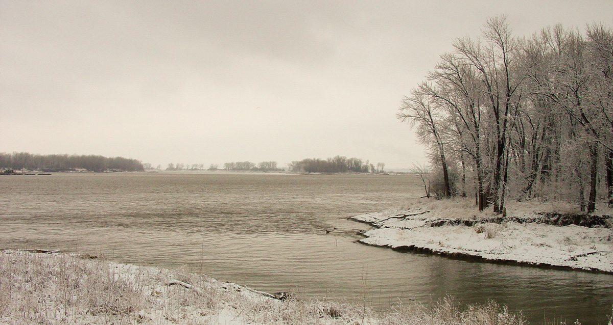
Clark and Lewis travel up the river—likely up the Mississippi—with locals John Hays and John Hay. On or near this date, Clark makes plans to add lockers and benches to the barge.
Missouri and Mississippi Confluence
Photo provided by Lewis & Clark State Historic Site, Hartford, Illinois. Used by permission.
Above: The Missouri River enters on the far side of the Mississippi which is flowing right to left. The Cahokia Creek Diversion Channel enters from bottom right and flows past today’s reconstruction of Camp River Dubois. The actual camp was near the confluence of the Missouri and Wood rivers. All these channels have since moved considerably since 1804. See The Mouth of the Missouri.
Heading up the River
my head akes much, I went up the river with Cap Lewis & Gentlem[en] . . . . Mr. Whitesides & Chittele crossed from the opposit Side of the Mississippi—
—William Clark
Lockers and Benches
2 men takes up 3 feet { Boat 31 feet in Hol[d] } Inches do 14 do on Cabn. 32 Long } a [Bench or Bank?] do 8—4 wide 22 wide 22 wide —William Clark (undated field note)[1]Derived from Moulton, Journals, 2:161 and Ernest S. Osgood, The Field Notes of William Clark, 1803–1805, Document 7 (New Haven and London: Yale University Press, 1964), 22 and 204. Table borders … Continue reading
Weather Diary
Therm. at rise
weather wind Therm. at 4 oClock weather wind River 10 above 0 fair S W by W 15 above 0 fair w rise a fair morning the Trees guilded with ice . . . . Ice run a little
—Meriwether Lewis and William Clark[2]To assist the reader, the editor of this web page has omitted the date column, merged the “River” columns, and spelled out some abbreviations.
Experience the Lewis and Clark Trail
The Lewis and Clark Trail Experience—our sister site at lewisandclark.travel—connects the world to people and places on the Lewis and Clark Trail.
Plan a trip related to January 31, 1804:

Winter Camp at Wood River (Camp Dubois) is a High Potential Historic Site along the Lewis and Clark National Historic Trail managed by the U.S. National Park Service. The site, near Hartford, Illinois, is managed as Lewis and Clark State Historic Site and is open to the public.
Notes
| ↑1 | Derived from Moulton, Journals, 2:161 and Ernest S. Osgood, The Field Notes of William Clark, 1803–1805, Document 7 (New Haven and London: Yale University Press, 1964), 22 and 204. Table borders and shading have been added for clarity. |
|---|---|
| ↑2 | To assist the reader, the editor of this web page has omitted the date column, merged the “River” columns, and spelled out some abbreviations. |


