On a point of land between the Missouri and Kansas rivers—Kaw Point—the enlisted men cut down trees so that the captains can make navigational measurements. A wall of timber and brush—a redoubt—is built to prevent attack from any Kansa (Kaw).
Missouri River from Kaw Point
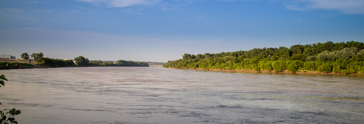
© 2 August 2015 by Kristopher K. Townsend. Permission to use granted under the Creative Commons Attribution-Share Alike 4.0 International license.
Defensive Redoubt
we determin to delay at this Place three or four Days to make observations & recruit the party Several men out Hunting, nloaded one Perogue, and turned her up to Dry with a view of repairing her after Completeing a Strong redoubt or brest work frome one river to the other, of logs & Bushes Six feet high,
—William Clark
Celestial Observations
On the point formed by the confluence of the Kancez River and the Missouri, made the following observations.—
—Meriwether Lewis
River Widths
Measured The width of the Kansas River by an angle and made it 230 yds ¼ wide, it is wider above the mouth the Missouries at this place is about 500 yards wide
—William Clark
Experience the Lewis and Clark Trail
The Lewis and Clark Trail Experience—our sister site at lewisandclark.travel—connects the world to people and places on the Lewis and Clark Trail.
Plan a trip related to June 27, 1804:

