An unknown person in Cahokia mails a copy of Meriwether Lewis‘s sketch of the expedition. In the sketch, he admits the United States cannot claim land above the 49th parallel. His sketch would eventually reach trader and explorer David Thompson of the Northwest Company c. 1807.
Rocky Mountain Front
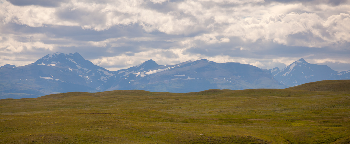
Source of the Marias
© 27 July 2013 by Kristopher K. Townsend. Permission to use granted under the Creative Commons Attribution-Share Alike 4.0 International license.
Lewis’s Sketch
Cahokia 14 Oct. 1806
Sketch of Captn. Lewis’s Voyage to the Pacific Ocean by the Missesourii & Columbia Rivers from the States of America
Dear Sir,
Annexed is the sketch I mentioned to you in my last of the 7th inst. I will give it you verbatim.[1]Letters of the Lewis and Clark Expedition with Related Documents: 1783–1854, ed. Donald Jackson (Urbana: University of Illinois Press, 1978), 1:355.
Exploring the Marias
I had now in conformity to my plan to undertake another enterprise which was to explore the River Maria completely with a view to establish, provided it so existed that some of it’s Branches extended so far north as Lat 49° 37′ N on the same parallel of Lat with the N W extremity of the Lake of the Woods.[2]Ibid.
Notes
Experience the Lewis and Clark Trail
The Lewis and Clark Trail Experience—our sister site at lewisandclark.travel—connects the world to people and places on the Lewis and Clark Trail.
![]()
Discover More
- The Lewis and Clark Expedition: Day by Day by Gary E. Moulton (University of Nebraska Press, 2018). The story in prose, 14 May 1804–23 September 1806.
- The Lewis and Clark Journals: An American Epic of Discovery (abridged) by Gary E. Moulton (University of Nebraska Press, 2003). Selected journal excerpts, 14 May 1804–23 September 1806.
- The Lewis and Clark Journals. by Gary E. Moulton (University of Nebraska Press, 1983–2001). The complete story in 13 volumes.
This site is provided as a public service by the
![]()
Lewis and Clark Trail Alliance
with additional funding from the following:

