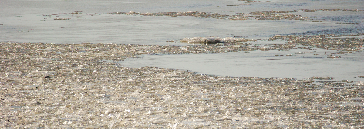
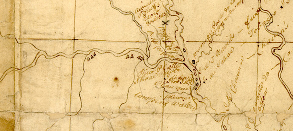
Pvt. Joseph Field passes between sheets of ice on the Mississippi to reach the Wood River. Clark comments on the maps and information obtained from trader James Mackay who recently made a surveying trip up the Missouri River.
Mississippi River Ice
Photo provided by Lewis & Clark State Historic Site, Hartford, Illinois. Used by permission.
Icy Crossing
at 1 oClock Joseph Fields returned, & crossed the River between the Sheets of floating Ice with Some risque, his excuse for Staying so long on the Mississippi were that the Ice run so thick in the Missourie where he was 30 miles up that there was no crossing, he Says that the people is greatly in favour of the Americans
—William Clark
Excessive Cold
the river rose 6 Inches last night, the Creek also rises & Boat nearly afloat I am verry unwell all day, owing I believe to the Ducking & excessive Cold which I underwent yesterday
—William Clark
“Map of Missouri River and Vicinity from St. Charles to the Mandan Villages of North Dakota made by James Mackay (1759-1822) with the assistance of John Evans (1770-1799).” This detail shows the mouth of the Platte.
Favorable Survey
Cap. Mackey has Just returned from Surveying of some lands up the Missouries, which has been laterly granted he says “a boutifull Countrey presents its Self on the route he went & returned.”
—William Clark
Weather Diary
Therm. at rise
weather wind Therm. at 4 oClock weather wind River fair fair [rise] 6 in. Missouri rise
—Meriwether Lewis and William Clark[1]To assist the reader, the editor of this web page has omitted the date column, merged the “River” columns, and spelled out some abbreviations.
Experience the Lewis and Clark Trail
The Lewis and Clark Trail Experience—our sister site at lewisandclark.travel—connects the world to people and places on the Lewis and Clark Trail.
Plan a trip related to January 10, 1804:

Winter Camp at Wood River (Camp Dubois) is a High Potential Historic Site along the Lewis and Clark National Historic Trail managed by the U.S. National Park Service. The site, near Hartford, Illinois, is managed as Lewis and Clark State Historic Site and is open to the public.
Notes
| ↑1 | To assist the reader, the editor of this web page has omitted the date column, merged the “River” columns, and spelled out some abbreviations. |
|---|


