Since we humans are the most territorial of organisms, we have the most well-developed abilities to recognize, organize and symbolize our territory with actual and mental maps. Because of our legal systems and institutions, we also have the greatest need to do so and that is what Jefferson was conveying in his instructions to Lewis. More than anything else, the objective of the Lewis and Clark Expedition was to lay claim to the new territory, and map it.
—John Logan Allen in Jefferson’s Geographic Directive
Pages Related to Geography
The Golden Triangle
Fur, oil, and wheat
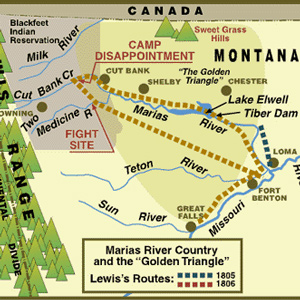

Lewis’s two trips on the Marias River were in an area called by early Montana pioneers the golden triangle consisting of fur, oil, water, wheat, and dinosaur bones.
Trail Graffiti
by Joseph A. Mussulman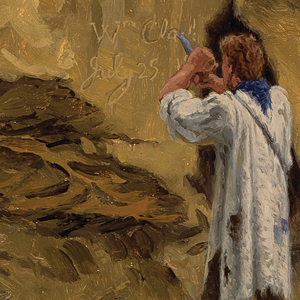

Members of the Lewis and Clark expedition carved, burned, or painted their names or initials and the dates when they did so, more than fourteen times according to the journals. They were practicing what had long been European explorers’ legitimate means for claiming dominion over other people’s land.
Unaccountable ‘Artillery’ of the Rockies
by Joseph A. Mussulman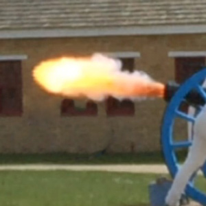

Near the Great Falls, Lewis describes loud noises “resembling precisely the discharge of a piece of ordinance of 6 pounds at the distance of three miles.” Thunder didn’t seem likely as “It was perfectly calm, clear, and not a cloud to be seen.”
Mapping Unknown Lands
by John Logan Allen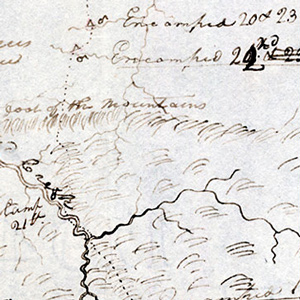

Geography professor John Logan Allen explains the tasks and methods used to map the lands traveled by the Lewis and Clark Expedition.
Deciphering the Celestial Data
by Robert N. Bergantino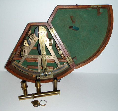
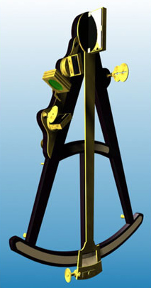
Lewis and Clark made celestial observations at “all remarkeable points on the rivers.” Hassler was selected to complete the longitude calculations from that data, but he never finished the job. Jefferson was not satisfied.
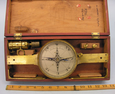
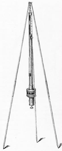
As Douglas and surveyor George Barnston set up their instruments, the pair would have been well aware that they were repeating observations taken by the Corps of Discovery in 1805 and by David Thompson in 1811.


To the European Romantics, the gritty names those American explorers uttered sounded like throwbacks to a cruder, more barbarous epoch, boding ill for the future of poetic taste in the New World. In 1815, Robert Southey found plenty of evidence.
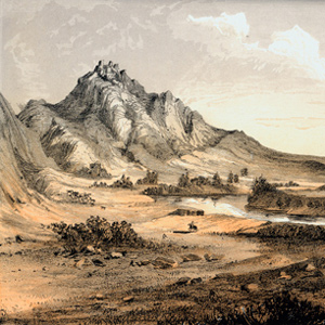

The Bears Tooth was an important landmark on the the ancient Indian road that has come to be known as the Old North Trail. It was included on Nicholas King’s 1804 map, and the captains expected to find it.
Clark’s Maps
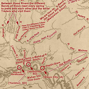

An index of articles on this site that provide detailed analysis from many of the maps made by William Clark.
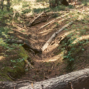

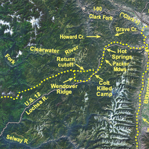
Imagine a time when all travel was on foot. This ancient time was the beginning of travel across the rugged Bitterroot Mountains for the Indian tribes of the northwest United States. This is a story of travel in those mountains from ancient times up to the present.

The quest for that ultimate understanding still goes on. Revolutionary is the new means of expanding the worldwide scope at new levels of analysis—the orbiting space platform represented by the Landsat program. The discovery continues.
Naming the Lolo
by Joseph A. Mussulman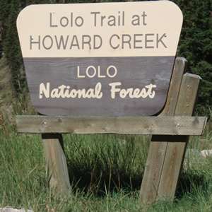

Even though it is highly unlikely that any of the expedition’s journalists ever heard the name, Lolo is among the most familiar and useful of all the place names in the story of the Lewis and Clark expedition. How did the Lolo get its name?
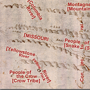

Clark evidently began compiling a map of the Northern Rockies after meeting with Hugh Heney at Fort Mandan on 18 December 1804, and continued adding information acquired from other traders, as well as from Indians. The reality, he would find, was much different.
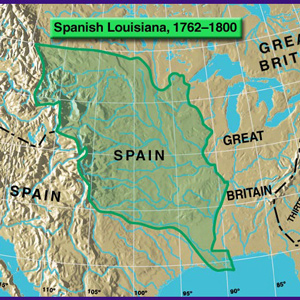

On 9 April 1682, René La Salle, claimed “possession of this country of Louisiana.” Thus, without any belligerent confrontations began the decline of one already ancient meta-culture, and the rise of a succession of new empires.
Experience the Lewis and Clark Trail
The Lewis and Clark Trail Experience—our sister site at lewisandclark.travel—connects the world to people and places on the Lewis and Clark Trail.
Discover More
- The Lewis and Clark Expedition: Day by Day by Gary E. Moulton (University of Nebraska Press, 2018). The story in prose, 14 May 1804–23 September 1806.
- The Lewis and Clark Journals: An American Epic of Discovery (abridged) by Gary E. Moulton (University of Nebraska Press, 2003). Selected journal excerpts, 14 May 1804–23 September 1806.
- The Lewis and Clark Journals. by Gary E. Moulton (University of Nebraska Press, 1983–2001). The complete story in 13 volumes.

