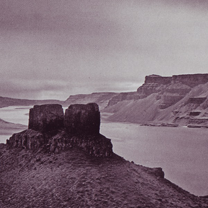
They encountered several rapids that nineteenth of October, including “a verry bad one” about two miles long. Clark climbed a 200-foot “clift” from which he could see many miles across the high desert.

They encountered several rapids that nineteenth of October, including “a verry bad one” about two miles long. Clark climbed a 200-foot “clift” from which he could see many miles across the high desert.
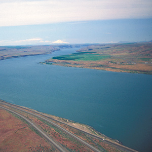
This scene’s most arresting feature is still the “high mountain of emence hight covered with Snow” on the photo’s horizon. Clark mistook it for Mount St. Helens. The Indians called the mountain Pahtoe. Since 1838 it has been known as Mount Adams.
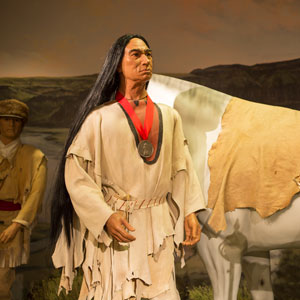
Across from the Walla Walla River, talks begin with Sacagawea and Charbonneau as interpreters. Yelleppit brings Clark a horse, Clark gives medical aid, and Pvt. Frazer buys ten fat dogs for consumption.
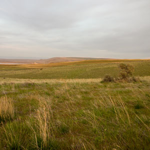
The expedition passes the Umatilla River and then climbs to the high plain above the Wallula Gap. Late in the day, they are met by Chief Yelleppit and guided to his village opposite the Walla Walla River.
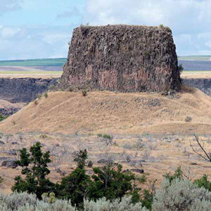
After passing Hat Rock in the Wallula Gap, Clark frightens several Umatillas who—after seeing Sacagawea—learn he is not part of a war party. The day ends with mutual smoking and fiddle music.