Traveling to Washington City, Meriwether Lewis utilizes the formal navigation skills that he practiced on the expedition to determine the latitude of Walker’s line—the current border between Kentucky and Tennessee.
Meriwether and Sextant
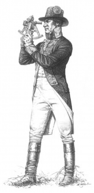
© Michael Haynes. Reproduction prohibited without artist’s permission, www.mhaynesart.com.
Observing Walker’s Line
Wallings November 23d 1806
This day in compliance with the request of a certain Gentlemen, I undertook to settle the latitude of a line usually denominated Walkers Line, formerly dividing the States of Virginia and North Carolina. The position selected for this observation was near the habitation of a Mr. Walling, 200 yards south of said line, and about two miles distant from Cumberland Gap.
Methodology
The instruments used in this observation were a Sextant on the most approved plan, with a reversing Telescope for an eye-piece, and a good Micrometer, and an artificial horizon in which water was used as the reflecting surface. I took the meridian altitude of the Suns lower limb, and calculated the latitude.
Results
. . . it appeared that the place of observation was in North latitude 36° 38′ 12″ 1/10—if therefore the Charters of the States of North Carolina and Virginia call for . . . 36° 30′ North as a boundary between them, the line of Walker is Nine miles and 1,077 yards North of its proper position.
This statement, I have given to Colo. Arthur Campbell, at his request, to be presented to the public view, in any manner he may think proper.
Meriwether Lewis, Capt.
1st U. S. Regt. Infantry[1]Calendar of Virginia State Papers and Other Manuscripts From January 1, 1799, to December 31, 1807, Volume IX, pages 504–506 as transcribed by Lorna Hainesworth in “Meriwether Lewis’s … Continue reading
Not until 1820 did Kentucky and Tennessee agree to use the true 39° 30′ line—at least west of the Tennessee River. It would take a few more years to conduct more surveys and settle the issue.[2]Hainesworth, Lewis’s Survey. In the meanwhile, settlers living in this disputed strip sometimes said they lived in “Kennessee”.[3]“Kennessee”, Wikipedia, en.wikipedia.org/wiki/Kennessee accessed 1 January 2026.
Notes
| ↑1 | Calendar of Virginia State Papers and Other Manuscripts From January 1, 1799, to December 31, 1807, Volume IX, pages 504–506 as transcribed by Lorna Hainesworth in “Meriwether Lewis’s Survey at Cumberland Gap”, The Portolan Issue 101 (Spring 2018): 34–44, washmapsociety.org/page-18114. |
|---|---|
| ↑2 | Hainesworth, Lewis’s Survey. |
| ↑3 | “Kennessee”, Wikipedia, en.wikipedia.org/wiki/Kennessee accessed 1 January 2026. |
Experience the Lewis and Clark Trail
The Lewis and Clark Trail Experience—our sister site at lewisandclark.travel—connects the world to people and places on the Lewis and Clark Trail.
![]()
Discover More
- The Lewis and Clark Expedition: Day by Day by Gary E. Moulton (University of Nebraska Press, 2018). The story in prose, 14 May 1804–23 September 1806.
- The Lewis and Clark Journals: An American Epic of Discovery (abridged) by Gary E. Moulton (University of Nebraska Press, 2003). Selected journal excerpts, 14 May 1804–23 September 1806.
- The Lewis and Clark Journals. by Gary E. Moulton (University of Nebraska Press, 1983–2001). The complete story in 13 volumes.
This site is provided as a public service by the
![]()
Lewis and Clark Trail Alliance
with additional funding from the following:

