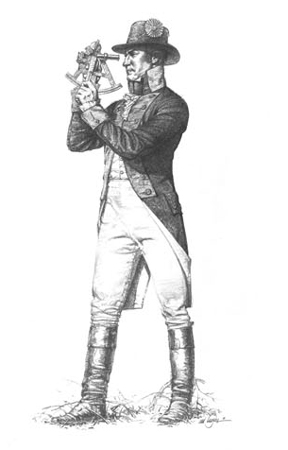
At the mouth of the Ohio, Lewis records key measurements from Clark’s survey of the confluence of the Ohio and Mississippi rivers.
Clark’s Survey
Capt Clark made a partial survey of the point and asscertained by the Circumferenter and projection that the width of the Ohio from[:]
Yards The point was— 1274 The Missippi— 1435 and the width of them both from those observed points on their respective banks was— 2002
Experience the Lewis and Clark Trail
The Lewis and Clark Trail Experience—our sister site at lewisandclark.travel—connects the world to people and places on the Lewis and Clark Trail.
Plan a trip related to November 15, 1803: