Clark climbs a brushy, steep hill above their “Dismal Nitch” camp. He finds large Sitka spruce trees but due to clouds, is unable to see very far down the river. Late in the day, three paddlers make it around Point Ellice across from present Astoria, Oregon.
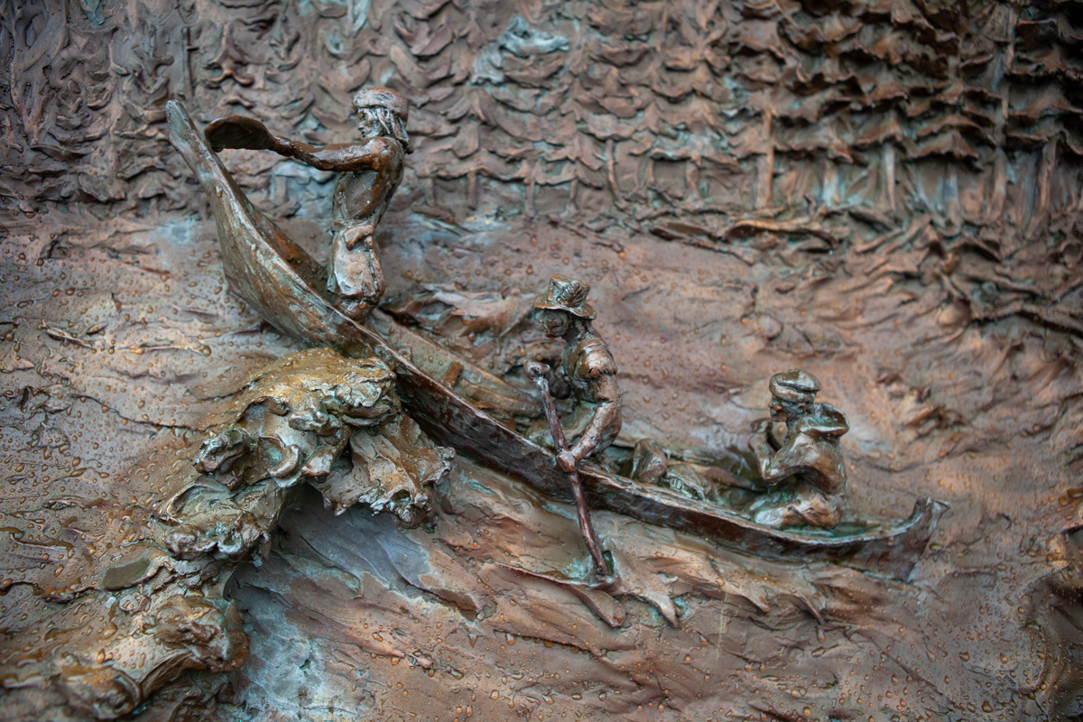
Rounding Point Ellice
From an interpretive display at the Dismal Nitch Safety Rest Area. Photo © 2013 by Kristopher K. Townsend. Permission to use granted under the Creative Commons Attribution-Share Alike 4.0 International license.
Around Point Ellice
we dispatched 3 men Colter, Willard and Shannon in the Indian canoe to get around the point if possible and examine the river, and the Bay below for a god harber for our Canoes to lie in Safty &c. . . . our canoe and the three men did not return this evening—
—William Clark
Continually Wet
The storm continued & hard rain during last night, and this morning rainey disagreeable weather. Our Buffalo robes are getting rotten, and the most part of our baggage were wet. We have a very disagreeable time of it, the most part of our Men having slept in the rain, ever since this storm began, & are continually wet.
—Joseph Whitehouse
Clark’s Climb
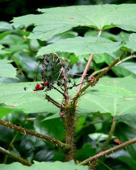
I walked to the top of the first part of the mountain with much fatigue as the distance was about 3 miles thro’ intolerable thickets of Small Pine, arrow wood a groth much resembling arrow wood with briers, growing to 10 & 15 feet high interlocking with each other & Furn, aded to this difficulty the hill was So Steep that I was obliged to drawing my Self up in many places by the bowers
—William Clark
Clark’s View
My principal objects in assdg. this mountain was to view the river below, the weather being So Cloudey & thick that I could not See any distance down, discovered the wind high from the N. W. and waves high at a Short distance below our Encampment
—William Clark
Tall Timber
The Timber on those hills are of the pine Species large and tall maney of them more than 200 feet high & from 8 to 10 feet through at the Stump those hills & as far back as I could See
—William Clark
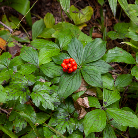
Bunchberry
Cornus canadensis
Devoto Grove on Lolo Pass, Idaho, 3 September 2013. © by Kristopher K. Townsend. Permission to use granted under the Creative Commons Attribution-Share Alike 4.0 International license.
Bunchberry
I Saw a Small red Berry which grows on a Stem of about 6 or 8 Inches from the Ground, in bunches and in great quantity on the Mountains, the taste insiped.
—William Clark
Weather Diary
Day of the month Wind State of the Weather 13th S W. rain —Meriwether Lewis[1]Some abbreviations have been spelled out.
Dismal Nitch is a High Potential Historic Site along the Lewis and Clark National Historic Trail managed by the U.S. National Park Service. Interpretation is available at the Dismal Nitch Safety Rest Area on WA State Highway 401.
Notes
| ↑1 | Some abbreviations have been spelled out. |
|---|
Experience the Lewis and Clark Trail
The Lewis and Clark Trail Experience—our sister site at lewisandclark.travel—connects the world to people and places on the Lewis and Clark Trail.
Discover More
- The Lewis and Clark Expedition: Day by Day by Gary E. Moulton (University of Nebraska Press, 2018). The story in prose, 14 May 1804–23 September 1806.
- The Lewis and Clark Journals: An American Epic of Discovery (abridged) by Gary E. Moulton (University of Nebraska Press, 2003). Selected journal excerpts, 14 May 1804–23 September 1806.
- The Lewis and Clark Journals. by Gary E. Moulton (University of Nebraska Press, 1983–2001). The complete story in 13 volumes.


