On or near this date, the expedition passes the mouths of the Cumberland and Tennessee rivers. In 1803, islands made entering those tributaries of the Ohio difficult.[1]No daily record of expedition’s travel between Louisville and Fort Massac is known to exist. Locating their camp near present Paducah, Kentucky on this date is an estimate based on information from … Continue reading
Mouth of the Cumberland
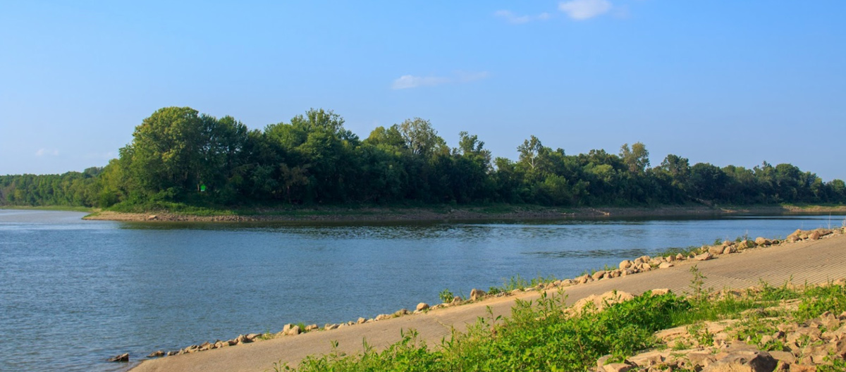
Photo by Andria Vincent, September 2019.
Mouth of the Tennessee
[P]assed the mouth of the Tenesse River. It is covered by two small long islands, so that you cannot see the mouth till you git below the lower island where it open with great dignity, being half as wide as the Ohio itself and by far superior to every other branch of it.
—Thomas Rodney (3 November 1803)[2]Dwight L. Smith and Ray Swick, ed., A Journey Through the West: Thomas Rodney’s 1803 Journal from Delaware to the Mississippi Territory (Athens: Ohio University Press, 1997), 162.
Mouth of the Cumberland
With some difficulty and much rowing, we forced our boats into the narrow Kentucky channel of the second Cumberland island a mile below the first, as otherwise we should not have been able to have got into Cumberland river, which the second island overlaps. A mile more brought us to the entrance of Cumberland river, across which we rowed, and moored at the little town of Smithland.
On the whole it is a miserable place, and a traveller will scarcely think himself repaid by a sight of the Cumberland; for stopping at Smithland.
—Fortescue Cuming (winter of 1807)[3]Fortescue Cuming, Sketches of a Tour to the Western Country: Through the States of Ohio and Kentucky, a voyage down the Ohio and Mississippi rivers, and a trip through the Mississippi territory, and … Continue reading
Experience the Lewis and Clark Trail
The Lewis and Clark Trail Experience—our sister site at lewisandclark.travel—connects the world to people and places on the Lewis and Clark Trail.
Plan a trip related to November 10, 1803:
Notes
| ↑1 | No daily record of expedition’s travel between Louisville and Fort Massac is known to exist. Locating their camp near present Paducah, Kentucky on this date is an estimate based on information from travelers of the period and Cramer’s 1802 river guide, The Navigator. |
|---|---|
| ↑2 | Dwight L. Smith and Ray Swick, ed., A Journey Through the West: Thomas Rodney’s 1803 Journal from Delaware to the Mississippi Territory (Athens: Ohio University Press, 1997), 162. |
| ↑3 | Fortescue Cuming, Sketches of a Tour to the Western Country: Through the States of Ohio and Kentucky, a voyage down the Ohio and Mississippi rivers, and a trip through the Mississippi territory, and part of West Florida, commenced at Philadelphia in the winter of 1807 . . . (Pittsburgh: Cramer, Spear, & Eichbaum, 1810), 249–50. |